


|
|
|
|
|
|
|
|
|
COLE MILL AREA |
Trails in the COLE MILL AREA are accessed from the parking area located at the end of the Old Cole Mill Rd, found at the Umstead Road/Cole Mill Road stoplight. This parking area also is used to access some of the trails found in the PUMP STATION AREA. From the parking area, access the Cole Mill Trail from either the river's edge going upriver, or from the middle of the parking lot, into the woods, at the trail sign. The Bobbitt's Hole Trail can be found from either of these starting points also. Bobbitt's Hole Trail essentially extends the trails further upriver and is how you access the five backcountry campsites in this area. See our separate section on how the Mountains-to-Sea/Laurel Ridge Trail traverses this section. ( * = See Below.)
FAVORITE COMBINATION TRAILS FOR LONGER HIKES IN THIS AREA:
|
|
|
All trails marked with an asterisk (*) require access to it from another trail. Consult the maps to determine how best to reach this trail, or read the trail description for options and recommended combined trails. Mileages given here ADD to the distance required to access the trail from another. |
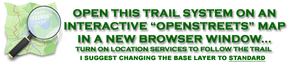
Using this link to the right, you should be able to open an OPENSTREETS Map centered on the area. I strongly suggest changing your base layer to STANDARD to see the latest trails. If your location services are active you can center the map on your current location, and follow the trails on the map. |
|
 BASEMAP COPYRIGHT GOOGLE MAPS; OVERLAY DATA COPYRIGHT EnoTrails.com RIGHT CLICK & "VIEW IMAGE" or "OPEN IN NEW TAB" TO DISPLAY FOR PRINTING JUST THIS MAP. |
|
|
ver. 3.1 ~ © 2011-
|